Dieser Beitrag entstand im Rahmen des e-learning Kurs Alpine Archaeology: tools and technigues, Abt. Ur- und Frühgeschichte, UZH.
Flurnamen, Zeitzeugenaussagen und historische Analogien/Beispiele informieren über das, was wir meist nicht finden. Wir möchten in diesem Blogeintrag auf zwei dieser Methoden und ihren Informationsgehalt für die prähistorische Archäologie näher eingehen. Besonders im Alpenraum haben wir Archäologen das Problem, dass materielle Funde eher rar sind. Und doch wissen wir, dass der Alpenraum schon früh bewirtschaftet wurde. Wie finden wir jetzt aber heraus, wie diese Alpenbewirtschaftung in etwas ausgesehen haben könnte?
Die erste Möglichkeit, die man anwenden könnte, ist die Ethnographische Analogie. Wir suchen uns also Kulturen, die noch möglichst nahe an der angenommenen archäologischen Wirklichkeit leben und schauen uns an, wie sie die Dinge tun, die wir untersuchen wollen. Wir ziehen aus dem Alltagsleben dieser Kulturen also Rückschlüsse auf die mögliche prähistorische Realität.
1. Ethnographische Analogien
Dieser Beitrag setzt seinen Fokus auf die Entwicklungstechnik der Landwirtschaft in unterschiedlichen Ländern der Erde.
Die ethnographische Analogien zwischen diesen Ländern wird durch das Beobachten der Technik in der Landwirtschaft plausibel.
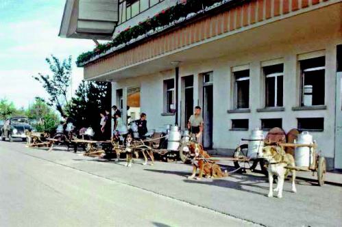
Der Bauer aus einen ferngelegenem Dorf in Afghanistan (1Foto) pflügt mit beinah gleicher Technik und dem gleichen Werkzeug sein Land, wie der Bauer aus Deutschland (2Film) Und die 3Vorlesung über die Kulturentwicklung im Neolithikum von Mitteleuropa mit dem Untertitel „ Siedlungswesen“ zeigt auf der Seite 10 der Folien das gleiche Bild (Zeichnung) eines Bauers, der mit denselben Methoden und Techniken den Boden bearbeitet.
Die untenstehenden Bilder zeigen das gleiche Vorgehen der Bauern beim Pflügen an unterschiedlichen Orten auf der Erde. Dies kann eine Analogie für das intuitive Verhalten der Menschen sein. Mit anderen Worten, der Mensch handelt in gewissen Bereichen des Lebens gleich wie ein anderer Mensch an einem anderen Ort der Erde. Dieses Thema ist ein sehr komplexes und bedarf einer Reihe von „ethnogeographischen“ Untersuchungen, welche mit der Entwicklung der Kultur und Sitten der untersuchten Gesellschaften verbunden sein müssen.
Wieder die Kuh als Hilfsmittel und die gleiche Technik des Pflügens, dieses Mal in Afghanistan: http://www.medienarchiv.com/Asien/Afghanistan/Afghanistan-1968/Afghanistan1.htm
Wie die Bauer früher lebten:http://www.youtube.com/watch?v=bFCnQywHBSw
Landwirtschaft gestern: Ackerbau in der Schweiz um 1936:http://www.youtube.com/watch?v=Yq2ojom6wAk
Vergleichbarkeit?
Dabei stellt sich das Problem der Vergleichbarkeit. Können wir wirklich aus heutigen Kulturen Rückschlüsse auf die Prähistorie ziehen? Auch wenn die Kultur noch so „ursprünglich“ lebt, allein die Anwesenheit des Forscher ist für sie ein Kontakt mit der sogenannten „Zivilisation des 21. Jahrhunderts“ und damit ein Eingriff in diese „Ursprünglichkeit“. Doch wenn wir als Archäologen dies bei unseren Untersuchungen berücksichtigen, so sind durch ethnographische Analogien durchaus vorsichtige Rückschlüsse auf die Prähistorie möglich.
(RB & LR)
2. Oral History
Die zweite Möglichkeit ist die „Oral History“. Diesen Begriff in der Archäologie zu gebrauchen, mag etwas irritieren, denn wen soll man den befragen? Die Zeitzeugen der Prähistorie sind ja alle schon lange tot!
Doch wie bei der ethnographischen Ethnologie kann man auch aus der näheren Vergangenheit durchaus Rückschlüsse auf die prähistorische Situation ziehen. Besonders in der Alpwirtschaft hat sich nicht so viel geändert seit dieser Zeit. Noch vor 50 bis 100 Jahren wurde in den Alpen mit recht primitiven Mitteln gewirtschaftet. Indem wir nun Interviews mit diesen älteren Zeitzeugen führen und sie erklären lassen, wie sie gelebt und gearbeitet haben, kann man durchaus Parallelen zur prähistorischen Situation ziehen.
Ein anderes Beispiel sind Flur- und Ortsnamen, die Hinweise auf die frühere landwirtschaftliche Bewirtschaftung dieser Landstriche geben können. Diese Flurnamen existieren bis heute und können aus verschiedenen Sprachen abgeleitet werden. Ganz grob lässt sich sagen, dass drei Sprachschichten in der Schweiz vorkommen. Keltisch, Romanisch und Alemannisch.4

Beispiel 1: Flurnamen in Grindelwald (auf Landwirtschaft hinweisende Namen sind z.B.: IN der Lienzweid, In der Weid, Auf der Fuhrermatte, Im Waidli, im Zaun)5
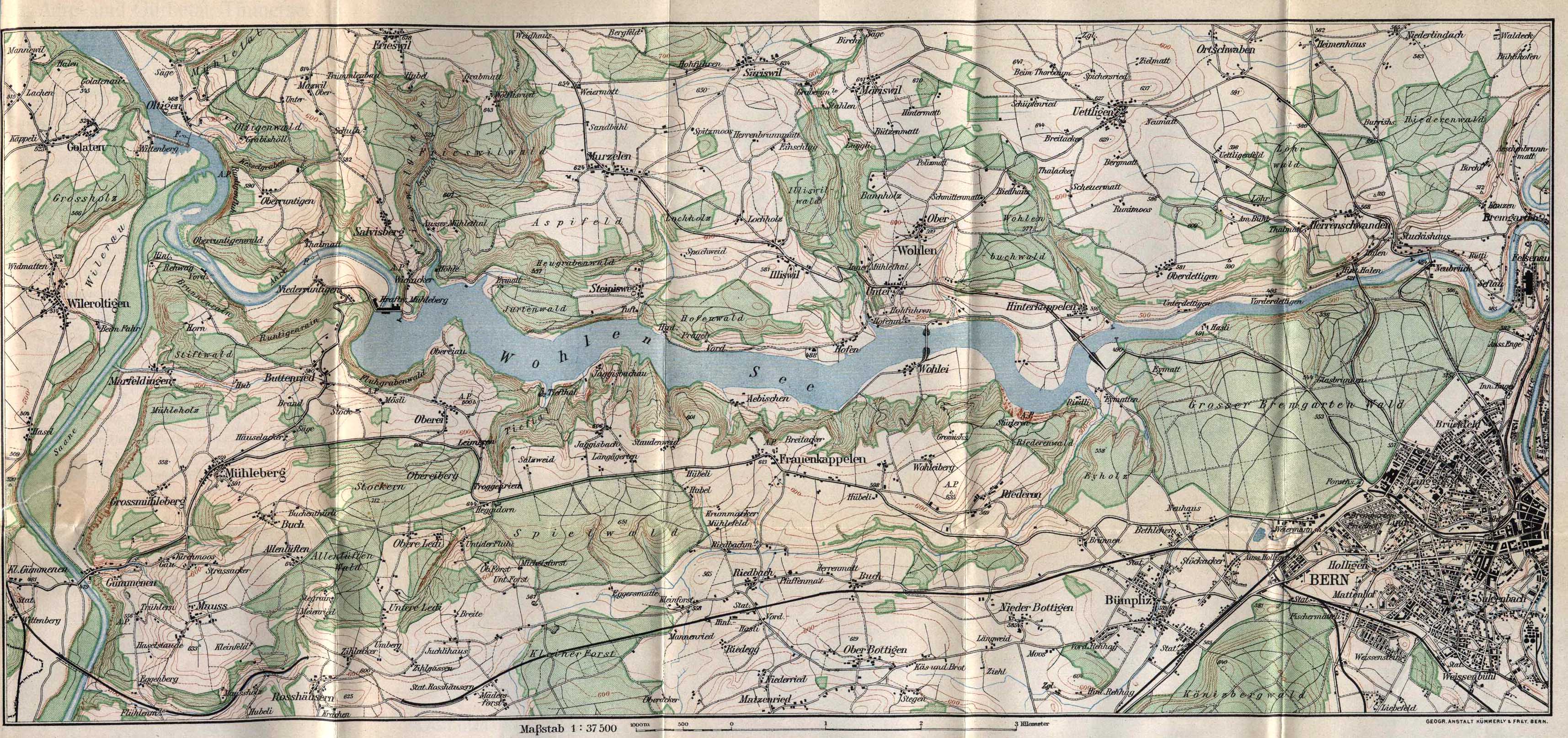
Beispiel 2: In der Umgebung von Frauenkappeln gibt es viele Ortsnamen, die auf -weid, -matt und -ried enden. Alle diese Endungen weisen auf Weiden, Grasflächen und gerodete Gebiete hin. Also auch hier wieder ein Hinweis auf landwirtschaftliche Nutzung des Geländes.
Link zur Karte: http://www.zumbo.ch/maps/navigate/23/karte.jpg
(LR)
Quellen:
Gefällt mir Wird geladen …


